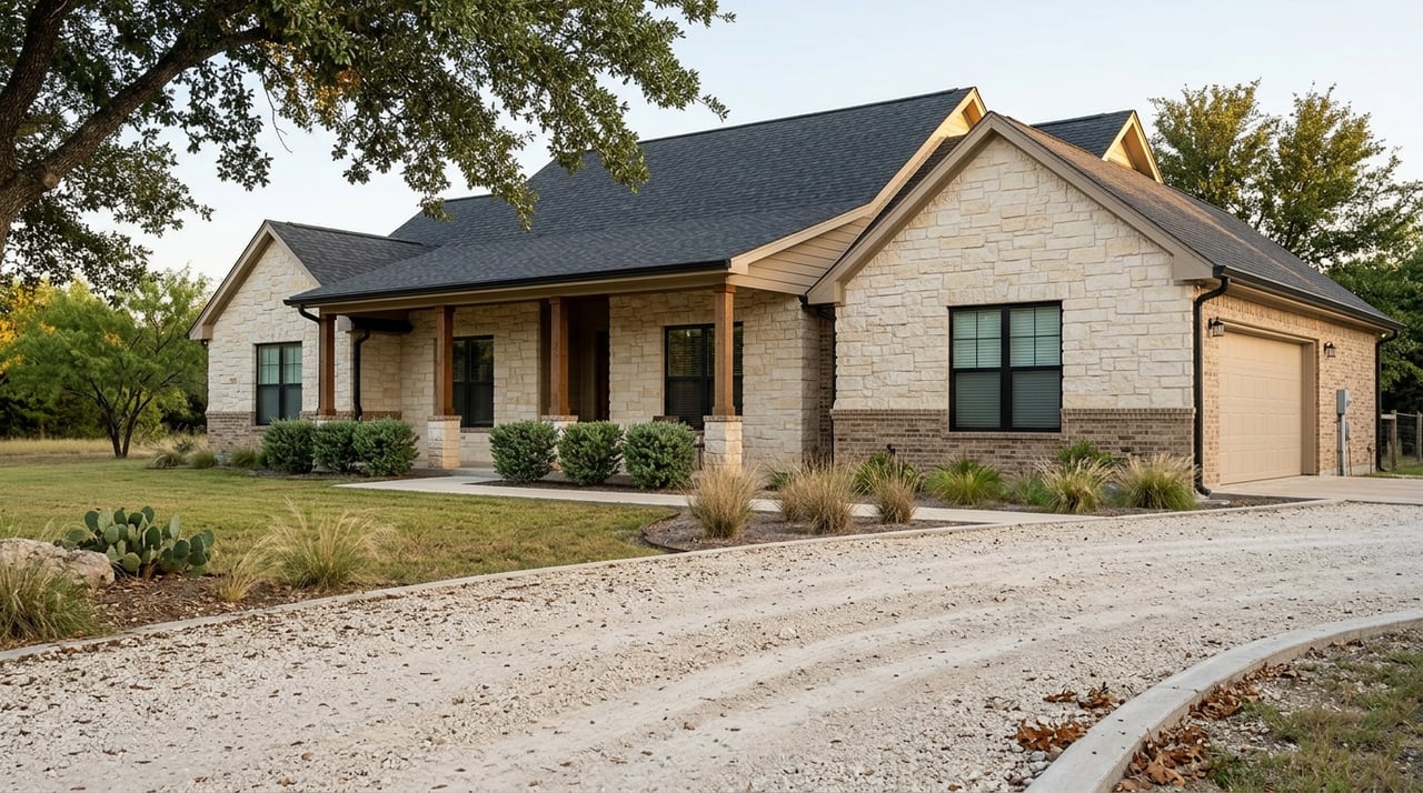
Buying near Luling puts you close to the San Marcos River and Plum Creek, which is part of why people love the area. It also means you need a clear plan for understanding flood risk before you write an offer. In this guide, you’ll learn how to read FEMA maps, what insurance and lender rules really mean, what Caldwell County requires for permits, and the smartest steps to take during escrow. Let’s dive in.
Why floodplains matter in Luling
Two waterways shape local flood risk: the San Marcos River and Plum Creek. Both have long monitoring histories and USGS streamgages that help track flows and flood patterns over time. Reviewing nearby gauge data can give you context about seasonal flows and historic peaks before you commit to a property. You can explore general streamgage references through the USGS factsheet on streamflow-gaging stations.
- See USGS streamgage background: USGS streamgage reference
Start with the maps
Flood risk starts with location. You will want to check whether a property sits inside a Special Flood Hazard Area, commonly shown as Zone A or AE on FEMA’s Flood Insurance Rate Maps.
Check the FEMA panel and zone
- Look up the address in FEMA’s Map Service Center or National Flood Hazard Layer to identify the official FIRM panel, mapped zone, and any base flood elevation noted. FEMA’s announcement for Caldwell County includes where to view preliminary panels and how to reach FEMA map specialists if you have questions about a specific parcel. Review it here: FEMA’s Caldwell County flood map update.
- Cross-check the parcel boundary on local maps. The Caldwell County Appraisal District provides parcel mapping that helps you confirm lot lines before you compare them with FEMA panels: Caldwell County Appraisal District maps.
- For lender use, an official flood determination will be ordered once you are under contract. If you disagree with the result, an Elevation Certificate from a licensed surveyor is usually the next step.
Watch the 2025 preliminary maps
FEMA released preliminary flood-map information for Caldwell County in March 2025 and opened an appeal and comment period. Preliminary maps can change lender outcomes once they become effective, which is why timing matters during a purchase. If a property may be newly mapped into a higher-risk zone, discuss insurance and financing contingencies early. You can find the release details and contact options for map questions in the FEMA Caldwell County update.
Insurance and loans: what to expect
Flood insurance affects both your budget and your closing timeline. Here is what to know before you make an offer.
When insurance is required
If a structure is inside a Special Flood Hazard Area on the community’s effective FEMA map and your mortgage is with a federally regulated or insured lender, flood insurance is generally required for the life of the loan. You can verify community participation in the National Flood Insurance Program and related details through FEMA’s NFIP Community Status resources: NFIP Community Status Book. Even if a home is outside the mapped SFHA, there is still some level of flood risk and insurance may still be a smart choice.
How premiums are priced today
FEMA’s Risk Rating 2.0 sets premiums using property-specific factors like elevation of the first floor, distance to water, type of flooding, foundation type, replacement cost, and past claims. Your mapped zone still drives whether insurance is required by a lender, but pricing is more tailored now. An Elevation Certificate and mitigation steps can influence your rate. For a plain-English policy overview, see the congressional summary of NFIP risk rating changes: FEMA Risk Rating 2.0 overview.
Timing your policy and the waiting period
NFIP policies generally have a waiting period before they take effect, often 30 days. There are exceptions when you buy a policy in connection with a loan closing, but it is still wise to order early to avoid delays. Private flood policies may have different underwriting and timing. For a quick primer on how NFIP policies work, review FEMA’s public education site: NFIP basics and timing.
Private flood insurance and lender acceptance
Some lenders accept private flood insurance that meets federal standards, including FHA guidance that permits qualifying private policies. Always confirm with your specific lender and loan program requirements early in the process. For background on recent FHA policy, see this summary: Private flood insurance for FHA loans.
Community discounts to check
Communities that participate in FEMA’s Community Rating System can earn premium discounts for local policyholders. Ask your insurance agent to check whether the City of Luling or Caldwell County participates and at what class. If applicable, discounts are applied automatically on eligible NFIP policies.
Permits, building rules, and remodeling in Caldwell County
If you plan to build or renovate in a mapped flood area, local rules shape what is possible and what it will cost. Caldwell County’s floodplain program explains permit steps, elevation-certificate requirements, a two-foot freeboard above base flood elevation for finished floors adopted in 2025, and how floodway encroachments are handled.
- Review local rules and permits: Caldwell County Floodplain Office
Key points that affect buyers and owners:
- Floodplain Development Permit. Work inside mapped flood hazard areas usually needs a permit. Plan timing and application steps into your project.
- Elevation Certificates. These are used for permitting compliance and for insurance rating. If the seller has one, ask for it.
- Minimum floor elevation. Caldwell County’s guidance notes a two-foot freeboard above the base flood elevation for finished floors.
- Floodway restrictions. No encroachment into mapped floodways without a no-rise certification or hydraulic study.
- Substantial improvement rules. If the cost of work equals or exceeds 50 percent of a building’s market value, you may need to bring the entire structure into compliance with current floodplain standards. Some communities track cumulative improvements, so scope your remodel carefully.
Common mitigation steps that can lower risk and premiums
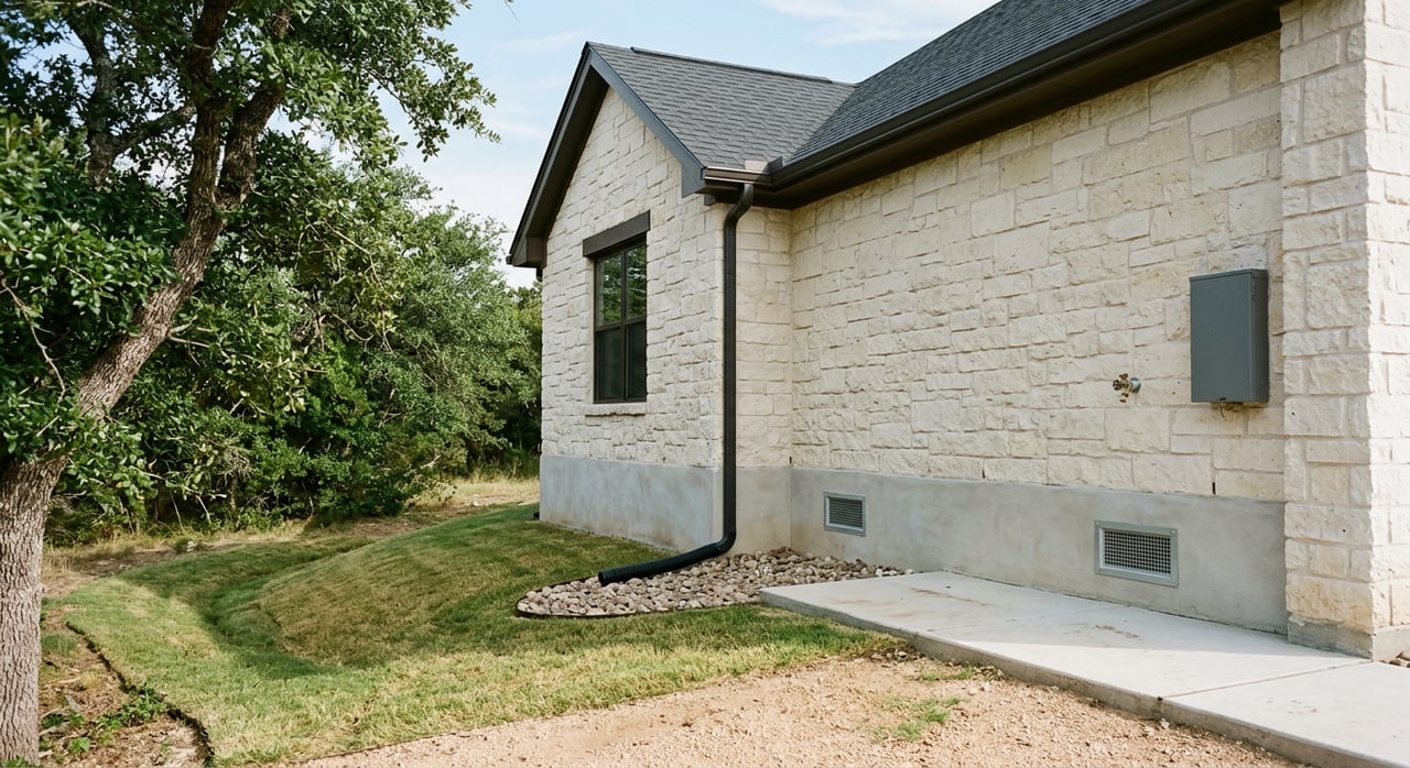
- Elevate the lowest floor above the base flood elevation and add freeboard when possible.
- Relocate mechanicals and utilities above the base flood elevation.
- Use flood-damage-resistant materials below the base flood elevation.
- Install properly engineered flood openings where required.
For homeowner-focused technical guidance, review FEMA-aligned resources summarized here: Flood mitigation options overview.
A practical due-diligence checklist
Use this sequence when you evaluate a specific property near Luling.
- Confirm jurisdiction and parcel lines
- Identify whether the property is inside Luling city limits or unincorporated Caldwell County. Jurisdiction determines which ordinances apply.
- Use the county appraisal map to verify parcel boundaries: Caldwell County Appraisal District maps.
- Run a FEMA map lookup
- Use FEMA’s Map Service Center or NFHL viewer to find the FIRM panel, mapped zone, and any base flood elevation.
- If preliminary maps are posted for Caldwell County, note appeal windows and potential changes. See FEMA’s notice: Caldwell County preliminary maps.
- Request seller documents early
- Ask for the Texas Seller’s Disclosure and look for prior flooding, insurance claims, or FEMA/SBA flood assistance. Reference forms are listed here: TREC Seller’s Disclosure resources.
- Ask for any existing Elevation Certificates and prior flood insurance policies.
- Order a lender flood determination and quotes under contract
- As soon as you are in escrow, have the lender or title company order the official flood determination.
- If the home is in an SFHA, request flood insurance quotes right away and ask your lender which policy types are acceptable.
- Consider an Elevation Certificate if needed
- If the property is near water or mapped in SFHA and the seller does not have an EC, plan to order one from a licensed surveyor. Expect lead time for fieldwork and forms.
- Weigh LOMA/LOMR-F options vs. premiums
- Only FEMA can amend a flood map using a Letter of Map Amendment or Letter of Map Revision based on Fill. An Elevation Certificate often supports the request. Compare the cost and timeline of a map change with the premium and any required mitigation.
- Expand your inspections
- Look for signs of prior flooding, the elevation and location of mechanicals, grading and drainage around the home, and any work that might trigger substantial improvement thresholds. Consider a structural review if there is elevated risk.
- Protect your timeline and budget in the contract
- Add time for insurance quotes, an Elevation Certificate, and any professional reviews. Consider an insurance or financing contingency tied to acceptable flood-insurance cost.
- Keep the NFIP waiting period in mind. If a lender requires coverage at closing, order early.
Local resources to keep handy
- FEMA mapping and map changes for Caldwell County: FEMA Caldwell County update
- Caldwell County floodplain permits, rules, and EC instructions: Caldwell County Floodplain Office
- Parcel boundaries and local mapping: Caldwell County Appraisal District maps
- NFIP community participation and CRS context: NFIP Community Status Book
- Insurance timing basics: NFIP basics and timing
Buying near rivers and creeks can be a great move when you plan well. Start with the maps, confirm your insurance path early, and understand the county’s permitting standards so there are no surprises after closing. If you want local, hands-on guidance tailored to your plan, connect with the Rodgers Realty Team for a friendly, no-pressure consult.
FAQs
What is a floodplain and why does it matter for Luling buyers?
- A floodplain is land that has a chance of flooding from nearby waterways; in Luling, proximity to the San Marcos River and Plum Creek makes checking FEMA maps and insurance requirements essential before you buy.
How do I find out if a Luling property is in a FEMA Special Flood Hazard Area?
- Run the address through FEMA’s Map Service Center or NFHL to see the official panel and zone, then compare it with parcel lines using the Caldwell County Appraisal District map.
Will my lender require flood insurance if the home is near the San Marcos River?
- If the structure is in a mapped Special Flood Hazard Area on the effective FEMA map and you have a federally regulated or insured mortgage, the lender will generally require flood insurance for the life of the loan.
How can an Elevation Certificate help me as a buyer in Caldwell County?
- It provides verified elevation data used for insurance pricing and permitting, and it may support a request to FEMA to amend the map for a specific structure.
What remodeling rules apply if I buy a home in the floodplain near Luling?
- Caldwell County requires permits for work in mapped flood areas, elevation certificates for finished floors, a two-foot freeboard above base flood elevation, and restrictions on floodway encroachments, with substantial improvement rules potentially triggering full compliance.