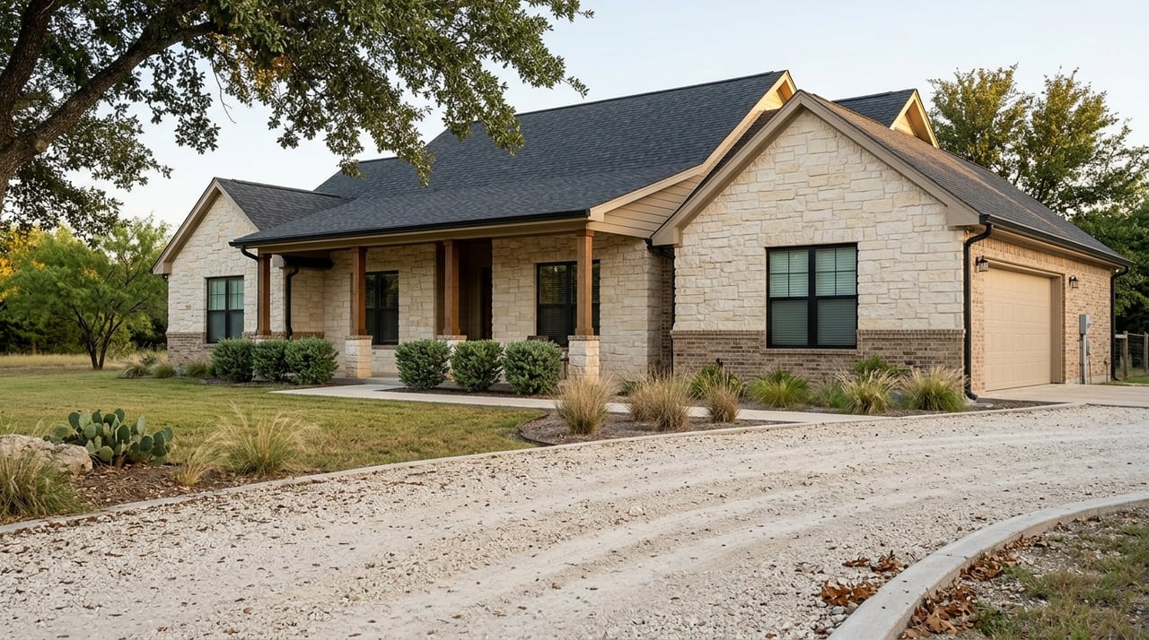
Craving more elbow room without giving up a San Antonio–New Braunfels commute? Around Schertz (often misspelled “Shertz”), true 5–10 acre tracts are scarce inside town but open up quickly just a short drive away. You want privacy, space for a shop or barn, and a build site that will not turn into a money pit.
This guide shows you exactly where to look near Schertz, what to prioritize on a small-acreage parcel, and how to set smart alerts and run due diligence so you can act fast with confidence. Let’s dive in.
Where 5–10 acre tracts appear near Schertz
Inside Schertz and immediately adjacent neighborhoods, most lots are suburban sized. Five to ten acre raw tracts do pop up, but they are usually infill exceptions or estate remnants and can command a premium. The best balance of supply and commute typically sits 20 to 40 minutes out.
0–20 minutes: limited and pricey
Within this ring, expect limited inventory and higher prices per acre. You might see an occasional subdivided remnant or an estate parcel, but selection is thin. If you must stay very close, set instant alerts and be ready to evaluate quickly.
20–40 minutes: best balance of options
This is the sweet spot for many buyers. Focus on these corridors:
- North toward New Braunfels and Comal County. Check county and FM roads around FM 3009 and into northern Comal near FM 483. You will find a mix of wooded and open tracts.
- East and southeast toward Seguin. Follow I‑10 east of Schertz and work the FM and county roads east of I‑35. These areas still offer smaller acreage tracts with workable access.
- South and southeast toward Stockdale and the outskirts of Floresville. Trace FM 1518 and connecting county roads to locate rural pockets that balance privacy with practical drives.
40–60+ minutes: maximum supply, longer commute
If you can stretch the drive, you will see more listings and varied topography. Look west and northwest toward Boerne and Kendall County, more rural parts of Comal County north of New Braunfels, and deeper into Wilson and Atascosa counties. Utility availability can be more limited, so budget time and costs accordingly.
How to draw your search map
Start with drive time, not miles. Define an acceptable commute window, like 20 to 35 minutes, then draw a custom polygon in your search platform to cover the corridors above. Layer in lot-size filters at a minimum of 5 acres and a maximum of 10 acres so you are only seeing relevant properties.
Include the rural roads where small tracts tend to split off larger ranches. Prioritize areas with reliable road access and proximity to services you care about. A targeted map keeps distractions out of your alerts and helps you move faster when the right tract hits the market.
Parcel features to prioritize
Usability and layout
- Shape and usable area. Prefer near-square or shallow rectangular parcels. Narrow or irregular shapes can reduce buildable space and complicate driveways, fencing, and siting.
- Topography and drainage. Gentle slopes or flatter ground are easier and cheaper to develop. Steeper terrain can raise costs for grading, septic placement, and erosion control.
- Vegetation. Dense cedar or mesquite can increase clearing costs and wildfire risk. Mixed or lighter cover often means easier prep and more usable acres.
Access and road considerations
- Legal access. Confirm you have recorded, deeded access, either through frontage or a documented easement. Avoid ambiguous “use” roads.
- Road type and maintenance. Is access via a county road, FM road, or private road with a maintenance agreement? Know who maintains it and how costs are shared.
- Driveway permits. New approaches to FM or state roads may require county or TxDOT permits. Factor this into timing.
Utilities and services
- Electricity. Power is often nearby, but extension and transformer fees can be significant. Identify the provider and estimate extension costs early.
- Water. Expect one of three scenarios: a private well, a water supply corporation connection, or a municipal extension. Verify availability, existing well logs, and water quality if applicable.
- Septic. Most 5–10 acre tracts will use a septic system. County health departments set permit rules and soil criteria. Plan for perc testing or soil evaluations.
- Gas and internet. Natural gas lines are less common in rural pockets. Propane delivery is typical. Broadband varies by provider, so confirm coverage on provider maps.
Legal and title items
- Mineral rights. In Texas, minerals are often severed from the surface. Clarify what conveys and understand the implications for surface use.
- Easements and restrictions. Utility, pipeline, flood, or conservation easements can limit where you can build and reduce usable acreage. Some rural subdivisions have deed restrictions that govern fencing, building size, animals, and more.
- Jurisdiction. Rules differ depending on whether the tract sits inside city limits, an ETJ, or unincorporated county. Identify which entity governs your permits.
Environmental and hazard checks
- Floodplain. Confirm FEMA flood zone status, especially near creeks or rivers. Aim to site improvements above the 100‑year elevation.
- Wetlands. Jurisdictional wetlands can restrict development. Flag any low, saturated areas for further evaluation.
- Groundwater and wells. Local Groundwater Conservation Districts may set rules on well spacing or use. Review well logs where available.
- Legacy activity. Older oil or gas activity, pipelines, or contamination can affect land use and financing. Surface inspections and title review help reveal issues.
Taxes and potential exemptions
- Tax rates. Rates vary by county, school district, and special districts. Review county appraisal records for recent tax history.
- Agricultural or open-space valuation. If you plan qualifying agricultural use, open-space valuation can reduce taxes. Requirements vary, so confirm eligibility with the county appraisal district before assuming it will apply.
A step-by-step due diligence checklist
Pre-offer desktop checks
- County GIS and parcel viewer to verify legal description, acreage, boundaries, and recorded access.
- FEMA Flood Map Service to identify flood zone panels.
- USDA NRCS Web Soil Survey to evaluate soils for septic suitability and building pads.
- County appraisal district records for tax history, ownership, and any special assessments.
- Electric, water, and broadband provider maps to confirm basic availability.
- Satellite imagery to assess terrain, vegetation, existing driveways, and neighboring uses.
Offer stage contingencies
- Survey contingency to confirm boundaries, acreage, and show easements.
- Title commitment contingency to identify liens, mineral reservations, and easements.
- Access contingency to secure documented legal access, not just physical paths.
- Septic and well contingencies to allow perc testing, well logs, water flow, and quality testing.
- Environmental contingency if water features or industrial uses are nearby.
Post‑contract inspections and verifications
- Full boundary or ALTA survey.
- Perc test and septic design through a licensed professional or county health authority.
- Well flow testing and water quality analysis if a well exists.
- Title insurance commitment review and resolution of any exceptions.
- Mineral rights review and any split estate disclosures.
- Driveway or approach permit applications and a check on setback requirements.
Professionals to engage
- A local real estate agent experienced with acreage and rural land.
- Licensed surveyor.
- Title company familiar with Texas mineral law and rural tracts.
- Septic designer or engineer and a well driller, if needed.
- A local builder or sitework contractor for preliminary cost estimates.
- County planners or permitting staff to confirm timelines and fees.
Timing to expect
- Acreage deals often require longer contingency periods to complete survey work, soils testing, and utility verifications.
- Utility line extensions can take weeks to months. Start estimates early so your timelines and budgets are realistic.
Set smart alerts and catch listings early
Use multiple alerts so you see new inventory fast and avoid missed opportunities.
- MLS saved search with your agent. Draw polygons around your realistic drive-time area and set lot size to 5–10 acres. Request immediate notifications and ask your agent to watch for pocket or off-market opportunities.
- Land-specialty sites. Create alerts with the same lot-size and county filters. These platforms often capture rural listings that lag on broad feeds.
- Consumer portals. They can be slower but still useful. Mirror your filters for redundancy.
Fine-tune your alert settings:
- Lot size minimum 5 acres and maximum 10 acres.
- Location by polygon or targeted counties and townships.
- Keywords like “acre,” “pasture,” “well,” “septic,” and “build site.” Prioritize explicit lot size over keywords.
- Property type set to land or farm and ranch categories.
- New listing window set to 0–3 days and a secondary alert for price changes.
- Notification mode by text or instant email where available.
To screen quickly, prioritize parcels with documented access and clear utility paths. Run a GIS and FEMA check before you drive. Keep a ready list of questions for the seller about survey status, perc testing, well logs, easements, and road maintenance.
Financing, costs, and timeline realities
Land and construction financing differ from conventional mortgages. Expect higher down payments and shorter terms on land loans. If you plan to build, look into construction-to-permanent options with lenders who understand rural projects.
Build and site prep costs can surprise buyers. Budget for:
- Driveway and culvert installation, plus any approach permits.
- Electrical line extensions or transformer fees.
- Septic design and installation.
- Well drilling or water supply corporation connection fees.
- Tree clearing, brush management, and soil stabilization where needed.
Permitting in rural counties can be more straightforward than in cities, but staff capacity varies. Septic and driveway permits can take 4 to 12 weeks depending on workload. Check homeowners insurance early and verify fire protection coverage, especially if you are in a volunteer fire service area.
Acreage living offers privacy and room for hobbies, animals, or a future shop, but it also means more maintenance and a mix of surrounding land uses. Drive the area at different times of day and review neighboring uses on satellite imagery to make sure the setting fits your lifestyle.
Local help when you are ready
Finding the right 5–10 acre tract near Schertz is part smart mapping, part fast alerts, and part meticulous due diligence. You do not have to do it alone. The boutique, family-run experts at the Rodgers Realty Team specialize in acreage and rural lifestyle properties across Central Texas and the Schertz–Guadalupe–Comal corridor. We pair practical land know-how with premium marketing and veteran-grade service so your purchase is handled with care and precision.
Ready to map your search and see real options? Reach out for a custom acreage game plan and on-the-ground support from first alert to closing.
FAQs
Where can I find 5–10 acre tracts within 30 minutes of Schertz?
- Look north toward New Braunfels and Comal County along FM 3009 and nearby county roads, east and southeast toward Seguin along I‑10 with FM and county road access, and south toward rural pockets off FM 1518.
What is the first thing to check on a rural parcel listing near Schertz?
- Confirm recorded, legal access and review county GIS for boundaries and any easements, then check FEMA flood status and soils to avoid surprises.
How do utilities typically work on 5–10 acre tracts in this area?
- Most parcels rely on electric service extensions, a private well or water supply corporation connection, and a septic system, with propane common and broadband availability varying by provider.
What due diligence contingencies should I include in my offer?
- Include survey, title commitment, access, septic and well, and environmental contingencies, with enough time for testing, design, and document review.
Can I get an agricultural or open-space valuation on 5–10 acres?
- It depends on your intended use and county rules; verify eligibility and requirements with the county appraisal district before assuming a valuation will apply.
How do I act fast when the right tract hits the market?
- Set instant MLS alerts with a polygon map, mirror alerts on land-specialty sites, pre-screen with GIS and FEMA checks, and have your questions and contingencies ready to move quickly and wisely.