Have you ever looked at a survey and wondered how a thin dashed line could change where you can build, fence, or even drive? If you are buying a home or acreage around Lockhart, you will likely encounter easements, and they are not all the same. You want to use your land freely and avoid surprises at closing. This guide explains common easements in the Lockhart area, how they show up on surveys and title commitments, and the practical steps you can take to protect your plans. Let’s dive in.
What an easement is
An easement is a legal right to use someone’s land for a specific purpose. The owner still holds title, but the easement holder has the right to access or use a defined area. In and around Lockhart, easements are common on both neighborhood lots and rural acreage. Knowing what they allow and restrict helps you plan driveways, utilities, buildings, and long-term land use.
Common easements in Lockhart
Access easements
Access or ingress-egress easements allow someone to pass across property, such as a shared drive or private road to reach a landlocked tract. They can limit where you place gates, fences, or permanent structures. Appurtenant easements run with the land and benefit a specific parcel, while an easement in gross benefits a person or company.
Utility easements
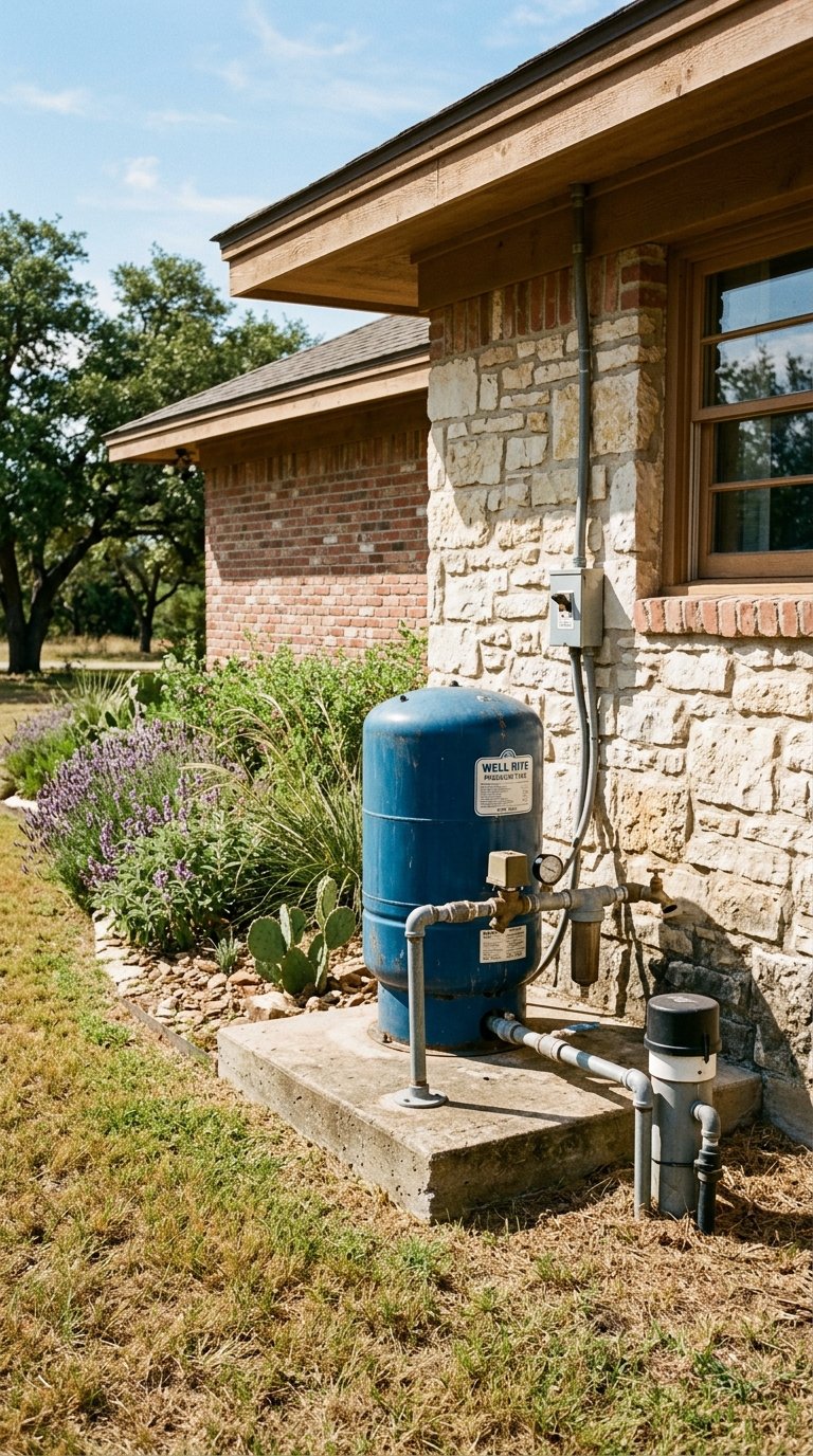
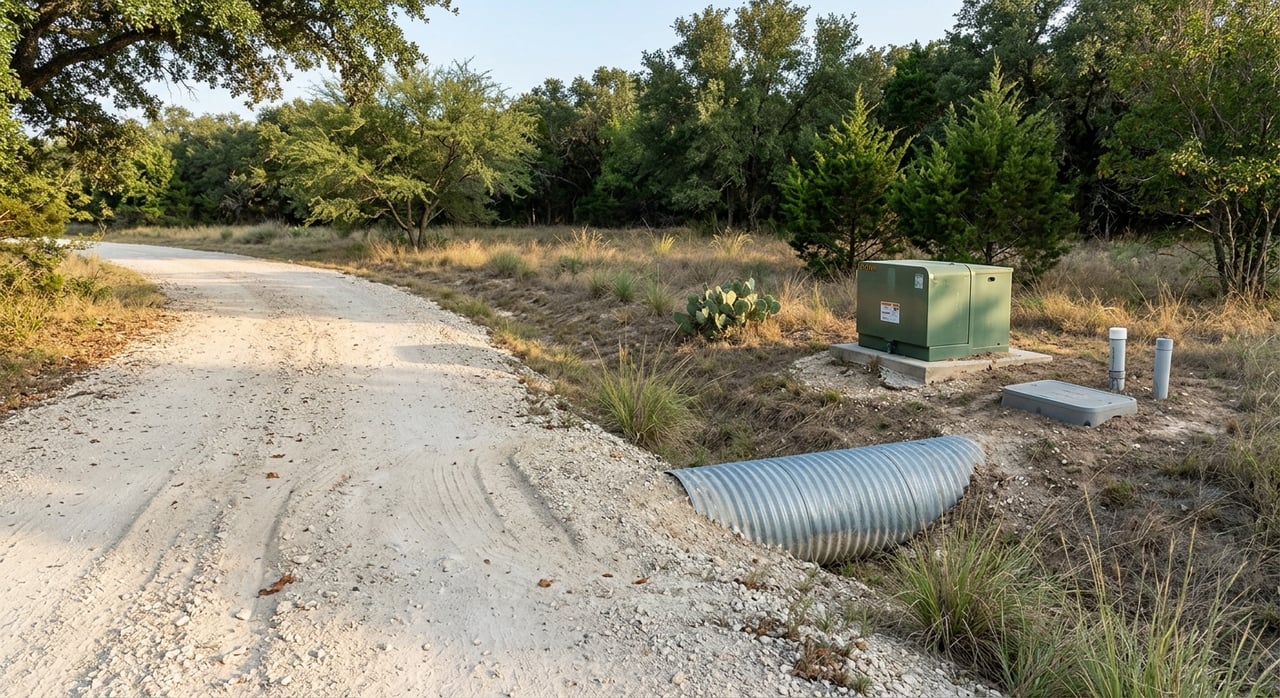
Utility easements give providers the right to install and service electric, water, sewer, or telecom equipment. You will often see these as narrow strips along lot lines labeled “U.E.” or “P.U.E.” on plats and surveys. Within these areas, structures, large trees, and deep foundations are usually restricted so crews can access lines and equipment.
Pipeline easements
Pipeline easements allow companies to place and maintain oil, gas, or refined product lines. Widths vary and can be substantial for transmission lines. These easements often include strong safety and access rights, so you should expect strict limits on building, heavy equipment, and certain plantings within the easement.
Drainage and detention easements
Drainage easements make space for stormwater flow, ditches, culverts, and retention or detention areas. They can limit building and sometimes include rights for a city, county, or HOA to access for maintenance. Your survey or plat notes typically show these areas and any related restrictions.
Road and right-of-way easements
Public streets, county roads, and state rights-of-way are controlled areas where you cannot place structures or fencing. If your tract fronts a state road, a driveway permit may be required. Private roads dedicated to public use can also appear in records and affect access and setbacks.
Conservation and agricultural easements
These are voluntary restrictions, often held by a land trust or government entity, that preserve open space, habitat, or agricultural use. They can be long term or permanent and may significantly limit subdivision or development. Always review the recorded instrument to understand permitted uses.
Easements by necessity or prescription
Not every easement is created by a written document. An easement by necessity can arise when land is landlocked, while a prescriptive easement can arise from long, open, adverse use. These claims can be disputed, so it is important to identify them early.
Note on minerals: In Texas, mineral rights are separate from surface rights. Mineral owners can have implied surface use rights that impact land use. If you are concerned about mineral activity, review recorded mineral and lease records as part of your research.
How easements are created or removed in Texas
How easements are created
Most easements are created by a written, recorded instrument such as a deed, plat, or separate agreement. Courts can also recognize easements by necessity or implication where prior use or access needs exist. Prescriptive easements form through continuous, open, adverse use and require specific facts and legal analysis. Developers or owners can also dedicate land for public use, creating easements for streets or parks.
How easements can change or end
Easements can be released by the easement holder through a written, recorded release. In some cases, if the same person owns both the benefited and burdened property, the easement may merge and end. Abandonment requires clear proof of intent to abandon and is not simply non-use. Parties can sometimes agree to relocate an easement, but that usually requires cooperation and a recorded amendment. Government can also take easement rights through condemnation with compensation.
What this means for you
Recorded easements are the most reliable to review and plan around. Unrecorded rights can surface later based on history and may require legal resolution. Relocating or removing an easement is sometimes possible, but public and utility easements are often difficult or costly to change.
Read your survey and title
What surveys show
Modern land title surveys depict easements as labeled lines or shaded bands with widths, bearings, and measurements. They also show visible utilities and note encroachments, like fences or sheds over an easement line. Ordering an ALTA/NSPS survey for complex acreage or lender-financed deals helps ensure recorded easements and visible utilities are shown.
What plats show
Subdivision plats often create and display public utility, drainage, and street easements, along with building setback lines. Plat notes can control what you can build and where. Reading the plat carefully helps you avoid unbuildable spots on a lot or tract.
What title commitments show
Your title commitment lists easements in Schedule B exceptions. Schedule B-I lists what must be done to issue the policy, while Schedule B-II lists recorded matters that will remain as exceptions after closing. Each exception cites a document number or book and page. Always request copies so you can read the exact rights, width, and maintenance terms.
Red flags to watch
A wide pipeline easement crossing your planned building site or septic area is a major red flag. Broad recorded language that allows full access and the right to lay, maintain, remove, and replace lines signals strong limitations. Survey notes that show physical improvements with no recorded easement may indicate unrecorded or prescriptive issues to investigate.
Buyer due-diligence checklist
Before you make an offer
- Ask for existing surveys, plats, and any title documents the seller can share.
- Visit the Caldwell County Clerk’s records to identify recorded plats and easements.
- Walk the property to look for utility poles, pipeline markers, shared drives, gates, and drainage features.
- Review FEMA flood maps to understand floodplain or detention areas that could affect building.
While under contract
- Order the right survey for the property type. For acreage with utilities or pipelines, ask the surveyor to show all visible utilities.
- Obtain a title commitment and review all Schedule B exceptions. Request copies of the recorded easement documents.
- Have a real estate attorney or title professional review easement deeds and your survey for scope, width, and relocation or maintenance language.
- Contact utility providers and any listed pipeline operators to confirm rights and relocation policies.
- Use 811 if you plan any site work so buried utilities can be located before digging.
If you find a problem
- Ask the seller to obtain a release or relocation of a private easement when feasible.
- Negotiate a price reduction or credit to account for lost usable area or future mitigation.
- Make corrective action a contingency, such as clearing title or obtaining a clarifying agreement.
- Discuss available title insurance endorsements for certain easement or survey issues with your title company.
After closing
- Plan your building envelope, driveway, and septic outside easement areas and honor any setback or clearance terms.
- Record any new access or maintenance agreements with neighbors to protect future ownership.
- For acreage, consider a separate review of mineral and energy lease records if surface impacts are a concern.
Local contacts and permits
- Caldwell County Clerk: Recorded plats, deeds, and easement instruments.
- Caldwell County Road and Bridge or County Engineer: County road easements and driveway permits.
- City of Lockhart Planning and Permitting: In-city utilities, right-of-way, and development questions.
- TxDOT: Access and driveway permits for state and FM road frontage.
- Texas Railroad Commission and pipeline operators: Pipeline right-of-way and safety information.
- Local utility providers: Lockhart municipal utility or regional electric co-op, water districts, and telecom.
- 811 Texas: Call before you dig to locate buried utilities.
Practical examples
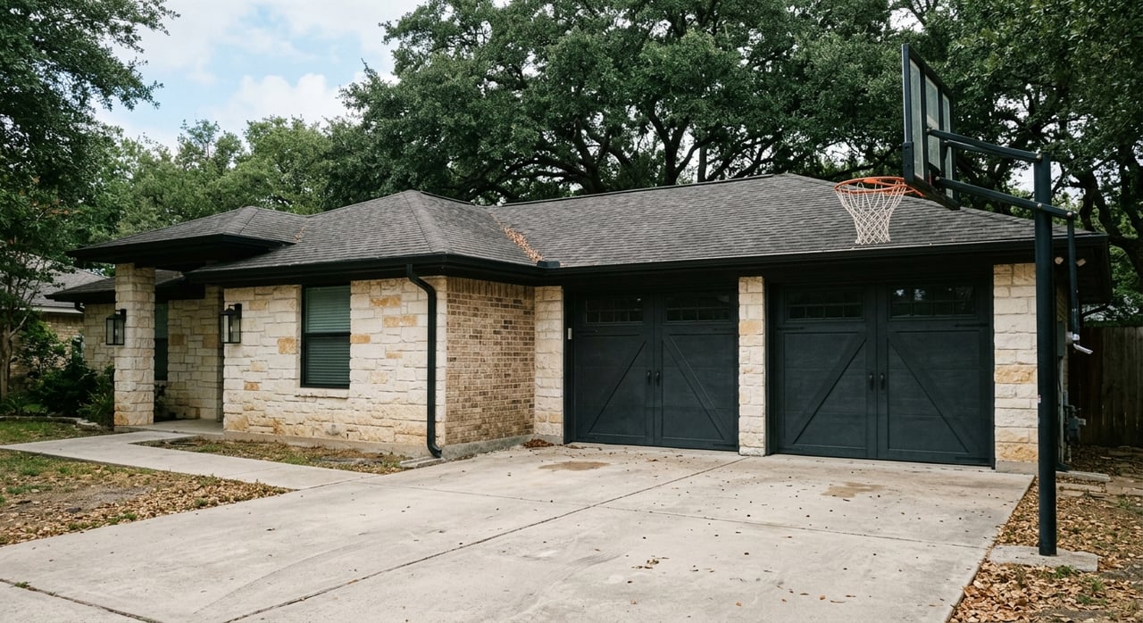
Neighborhood lot example
You buy a home in Lockhart with a 10-foot public utility easement along the back fence. You plan to add a workshop in that corner. The survey and plat notes show the easement width and that permanent structures are not allowed inside it. You shift the workshop outside the easement and confirm with the city that permits will clear.
Acreage with pipeline example
You are under contract on a 15-acre tract outside town with a 50-foot pipeline easement crossing the middle. The recorded instrument grants the operator broad access and prohibits structures. You work with your surveyor to map a new homesite and driveway that avoid the easement, then negotiate a price reduction to account for reduced usable area.
Final thoughts
Easements do not have to derail your plans. With a solid survey, a complete title-review process, and early screening of access, utilities, pipelines, and drainage, you can buy with confidence and design your project around real-world limits. If you want local, land-savvy guidance on easements and due diligence in Caldwell County, talk with the team that handles both homes and acreage every day. Schedule your free property consultation with the Rodgers Realty Team.
FAQs
Can Lockhart utility easements be removed?
- Sometimes, but only if the easement holder agrees in writing and records a release. Public and utility easements are often difficult or costly to remove.
Will a pipeline easement limit where I build?
- Yes. Pipeline easements often prohibit structures and heavy equipment within their width and may require setbacks. Plan your building envelope outside the easement.
What does Schedule B mean in a title commitment?
- Schedule B lists recorded matters, like easements and restrictions, that the title policy will not cover unless addressed. Always request copies of those documents.
How do easements show on a survey in Texas?
- Easements appear as labeled lines or shaded areas with widths and references to the recorded document. Surveys also note visible utilities and any encroachments.
Are unrecorded or prescriptive easements a risk?
- They can be. Long, open use by a neighbor can lead to a prescriptive claim. Investigate history, compare with the survey, and consult a real estate attorney if needed.
Can I relocate an easement before closing?
- Sometimes. Private easements may be relocated by agreement and a recorded amendment. Utility and pipeline holders are less flexible and may require compensation.